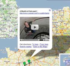
We're excited to announce that we have just launched beta versions of Google Maps for France, Germany, Italy, and Spain. These sites include the full suite of interactive street maps, driving directions, and integrated local business search. This has been a global effort with Google teams in Paris, Hamburg, Milan, Madrid, New York, Mountain View, Kirkland, Sydney, London, Dublin, and Zurich working together for much of the past year to build a truly "local" product.
Accompanying this release, we have greatly improved high resolution imagery coverage for Europe in both Google Maps and Google Earth. Check out the Eiffel Tower in Paris, Olympiastadion in Berlin, and the Grand Canal in Venice.
To give you a preview of what's to come, we've also rendered street maps for many other countries in Europe. Developers, you can incorporate these maps and imagery into your own websites using the free Google Maps API Version 2.
http://googleblog.blogspot.com/2006/04/google-maps-in-europe.html
The Tour de France in Google Maps Street View


